Met Office Chief Meteorologist, Andy Page, said:
This is not usual autumn weather. This is an exceptional event, and we are likely to continue to see significant impacts with the potential for further flooding and damage to properties. There are numerous National Severe Weather Warnings in place for both rain and wind over the coming days.
Today parts of eastern Scotland could see a further 20-30 mm of rain, but the east-facing high ground from southeast Scotland to the Cheviots, south to the Peak District may see as much as 80 to 120 mm of rain locally. Strong easterly winds may exacerbate the impacts of the heavy rain.
We have issued a second red warning covering parts of Angus and Aberdeenshire for Saturday with 70-100 mm rain possible. This has the potential to cause further impacts in this already hard-hit area.
Katharine Smith, flood duty manager at the Environment Agency, said:
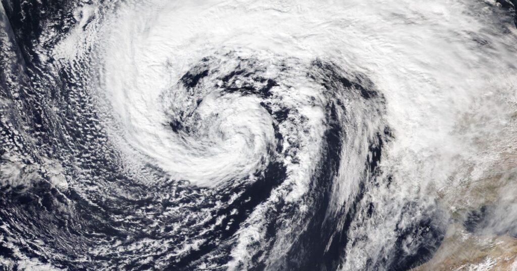
Persistent and heavy rain brought by a combination of Storm Babet and following weather systems means significant inland flooding is likely across parts of the north of England, and possible across parts of the Midlands and East of England, from Friday through to Saturday.
Environment Agency teams are out on the ground to clear blockages and operate flood defences to minimise the impact of flooding in the areas at risk. We also advise people to stay away from swollen rivers and urge people not to drive through flood water as just 30cm of flowing water is enough to move your car.
People should check their flood risk, sign up for free flood warnings and keep up to date with the latest situation at https://www.gov.uk/check-if-youre-at-risk-of-flooding and follow @EnvAgency on X, formerly known as Twitter, for the latest flood updates.

